
Virgin Islands National Park, USA | Park 4/59


Virgin Islands National Park Multi-Sport
About 60% of the island of St. John where Virgin Islands National Park is located is protected parkland, and that excludes the 5,650 acres of parkland area that is submerged beneath the water surrounding its shores. St. John is the least developed and smallest of the three best-known United States Virgin Islands, and with just a couple of roads on the nine-mile-long island, it is hard to get lost and therefor conducive to letting travelers carve-their-own adventures.
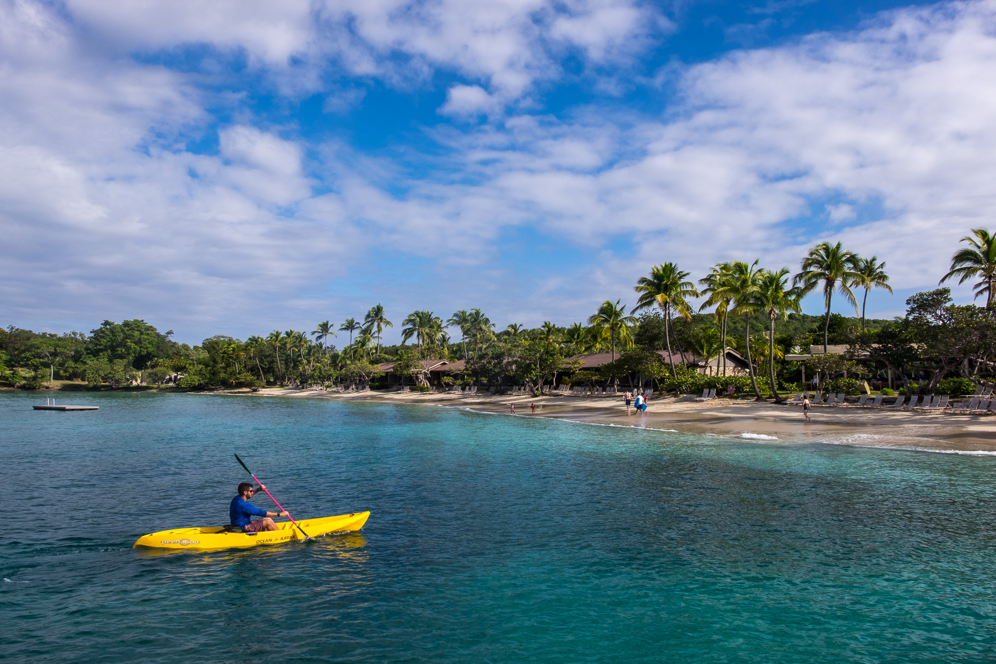
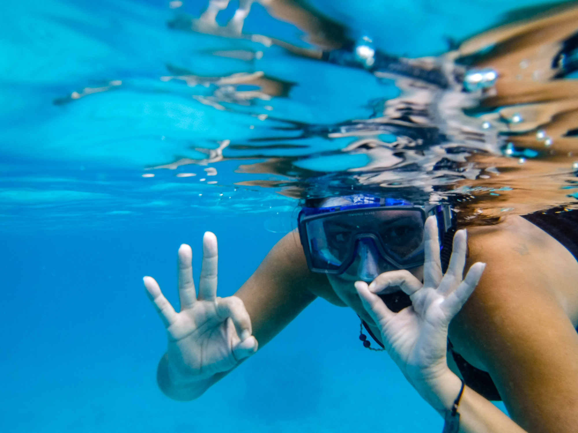
The U.S. Virgin Islands (US VI) are well known to mariners and island hoppers for pure white sandy beaches and the turquoise waters of the Caribbean Sea that wash upon the shores. It’s one of those perfect environments to do what people love to do on any paradise island—soak in the sun, play in the sand, and swim in the sea. We did all of that. It’s also a perfect multi-sport destination. We composed ours of three activities: hiking, snorkeling, and relaxing. Relaxing as a sport? After canoeing backcountry in the Everglades, exploring the waterways of Biscayne, and camping in the Dry Tortugas, we thought that a little relaxation would be a fine thing to work into the itinerary at park #4. And, relaxing is sport in the US VI.

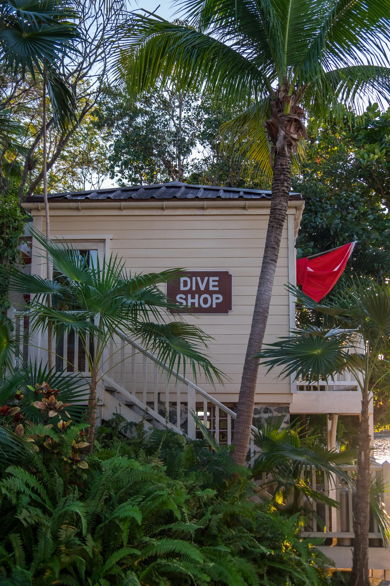
Because we flew from mainland America to reach St. John (flying into St. Thomas first then crossing by ferry to the park), we had to leave our Airstream back in Florida. As we had no outdoor gear with us, we decided that this would be a good time to find a hotel to stay in for a couple of days (and to take a proper shower.) In keeping with our goal to spend as much of 2016 within national park boundaries, we chose the only accommodation inside of US VI National Park: the Caneel Bay Resort on the north shore. Located on Laurance Rockefeller’s former personal estate, the resort provides access to some of the islands very best beaches, and provides to guests equipment to explore them with. Learn to windsurf, paddle, dive—it's all right there. Sharing this diverse tropical nature habitat was a dream of Rockefeller, who was known professionally as an esteemed financier and philanthropist, and known better to his inner circles as a passionate environmentalist and preservationist. During the 1950s, he acquired 5,000 acres of land on the island and donated it to the U.S. government who established it as one of our 59 beloved U.S. National Parks in 1956.

60 years later, after one full day of leisure, we were ready to explore the park outside of the resort. We grabbed a map and rented a Jeep Wrangler with a basic no-plan plan in mind. “Don’t be alarmed by the low tire-pressure,” Jennifer with the leasing office said, “that keeps the tires from blowing out!” Okey-dokie. Off we drove along the steep, rocky, harrowing back roads that took us to the roof of the island and to the first stop on our multi-sport adventure.
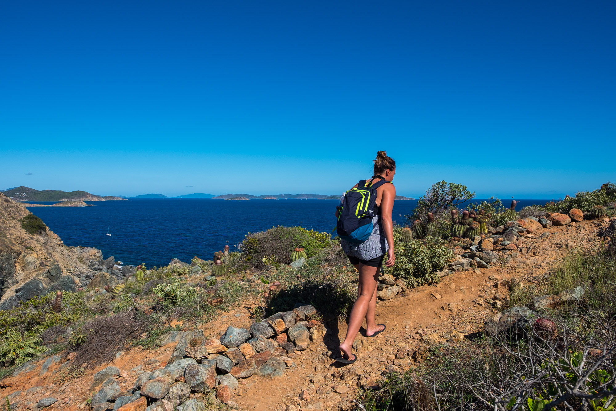
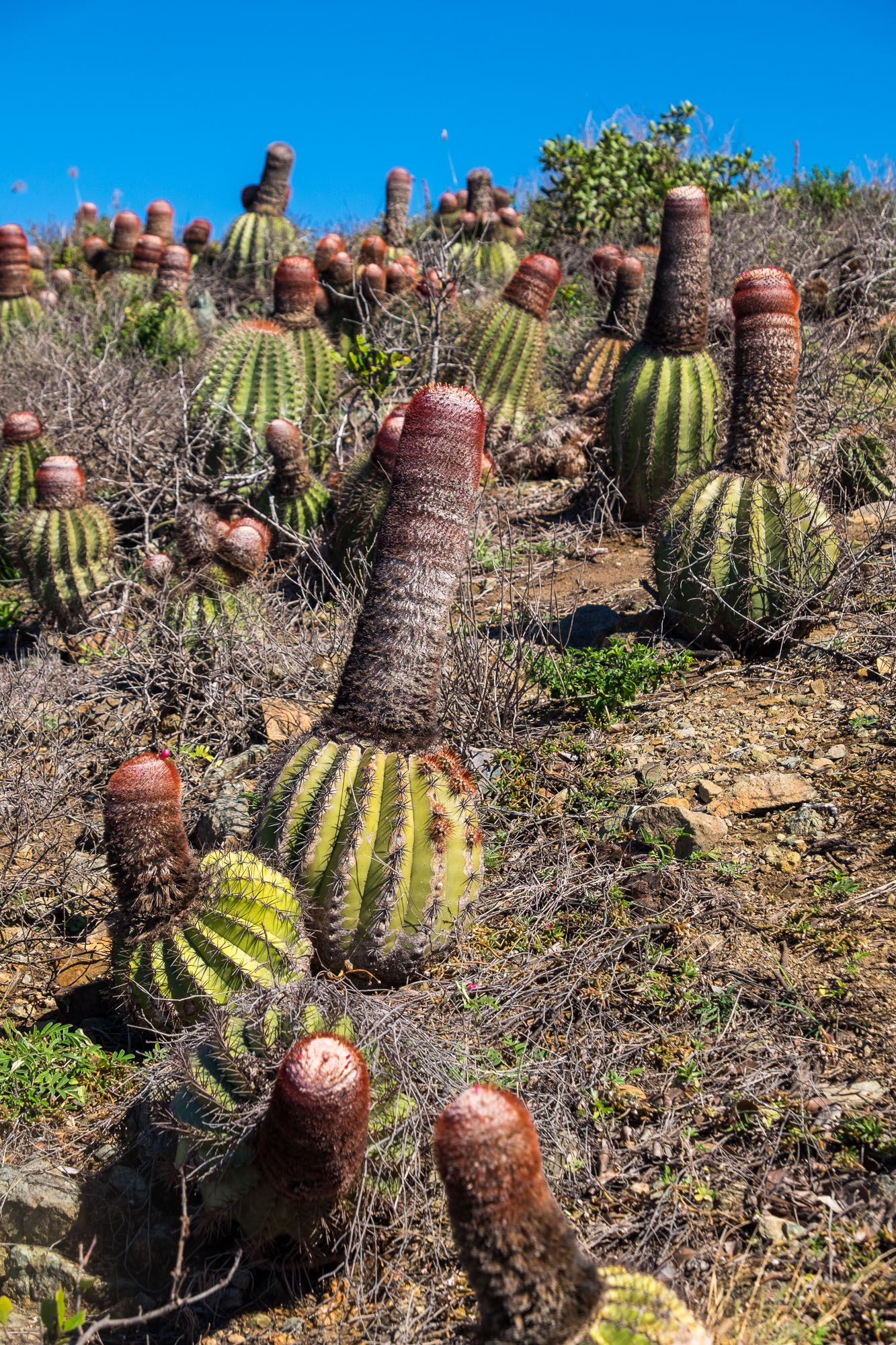
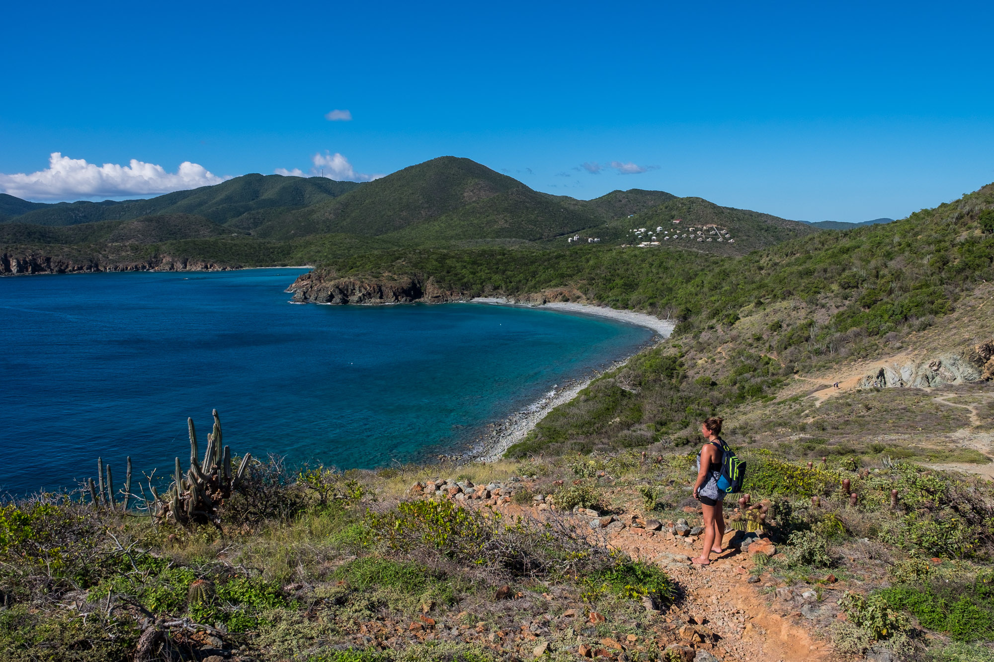
Rams Head Trail located at Salt Pond is a short one-mile trail, but is difficult all the same as it is fully exposed to the heat of the blazing sun. The steep climb brings you along rocky cliff sides to a mountaintop where you have full panorama views of the island. We both loved this trail—short, sweet, and enough steady incline to break a sweat. It put us at a perfect vantage point to realize that while hiking is our activity of choice in many of the parks, where we really wanted to be at that very-high-up-near-the-sun moment was in the water down below.
Downward we went.

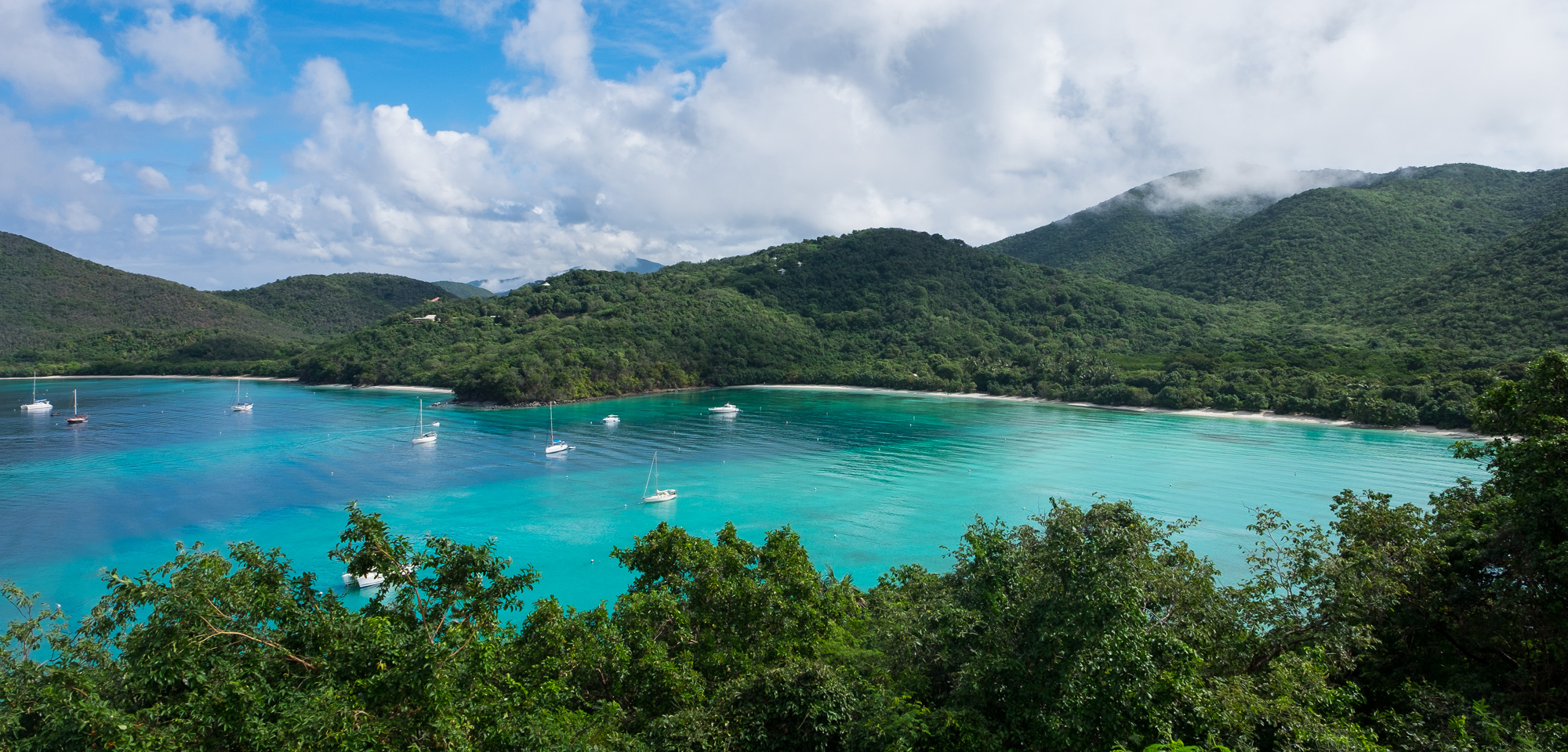
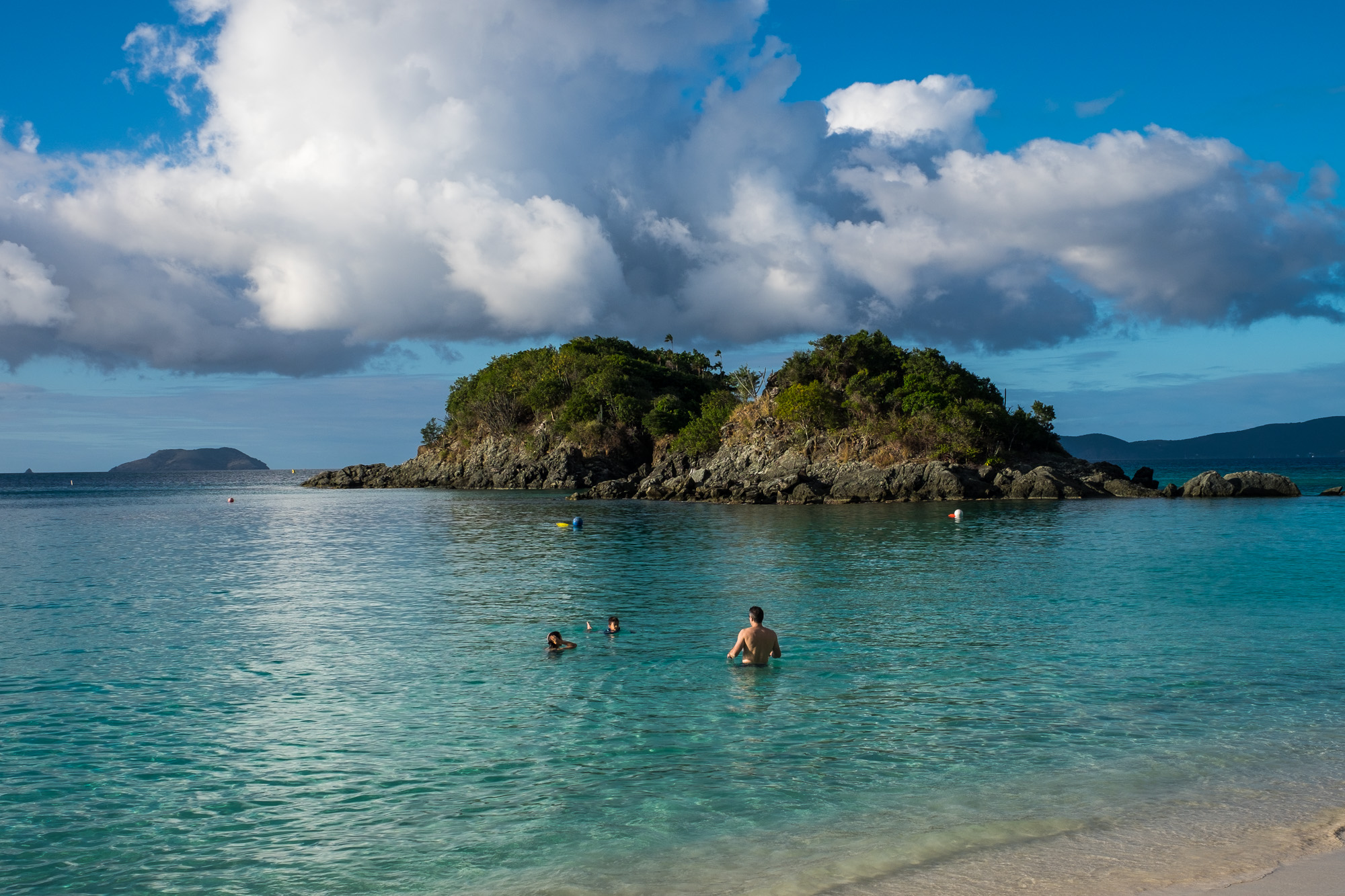
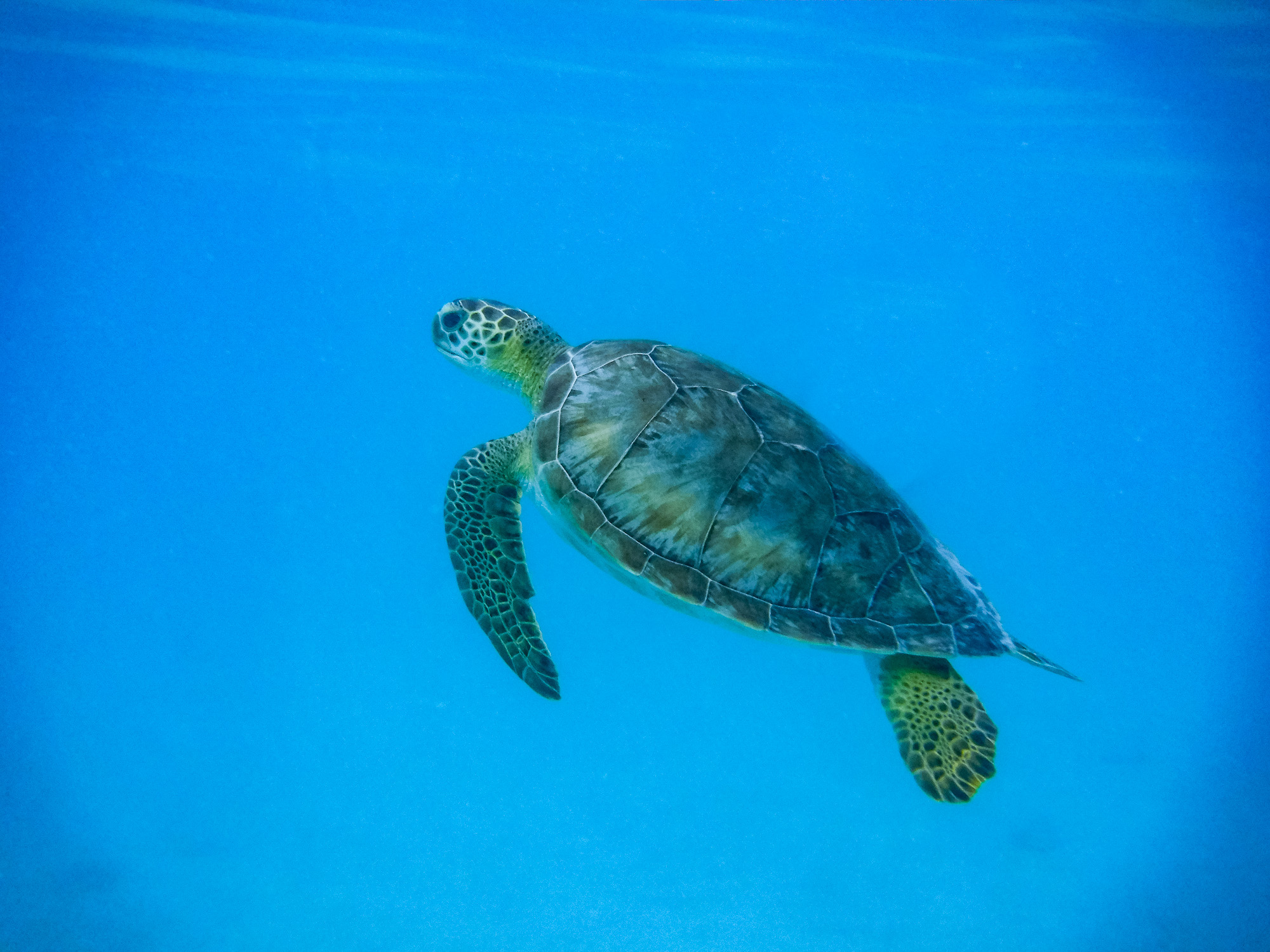
Instead of swimming at the beach based at Rams Head, we ventured to other beaches on the island. Hawksnest had to be visited because of the Seattle Seahawks connotation (#12s). On the east side of the island, there is a galley of private residences offering beach access for $2.50 per person at a lesser-known local spot faved by locals called Vie’s. The same locals who sent us to Vie’s advised us to steer clear of Trunk Bay, the most popular beach on the island, because it is so overly touristed. We stopped there anyway to check out the famed underwater snorkeling trail. On the shore, the wide sandbar shaded by seagrape trees and coconut palms made it very photogenic and it was a very lovely place to just be. The underwater snorkeling trail—225 yards of coral reef along the seabottom marked with natural points of interest—is, in fact, a very unique excursion. It's pretty perfect for families with gaps in skill level and its situation close to shore makes it quite accessible. If you are looking to find the wild jewels of the sea, it's kind of a snore, to be perfectly honest. At least while we were there, the area lacked abundant sea life in comparison to other places we’d snorkeled while visiting … places like Scott’s Beach back at Caneel Bay where we saw families of sea turtles, stingrays, sergeant major fish, other fish, octopus, puffer fish, coral of all sizes and shapes, and I think a shark… Jon says "maybe," I say, "it was definitely a shark."
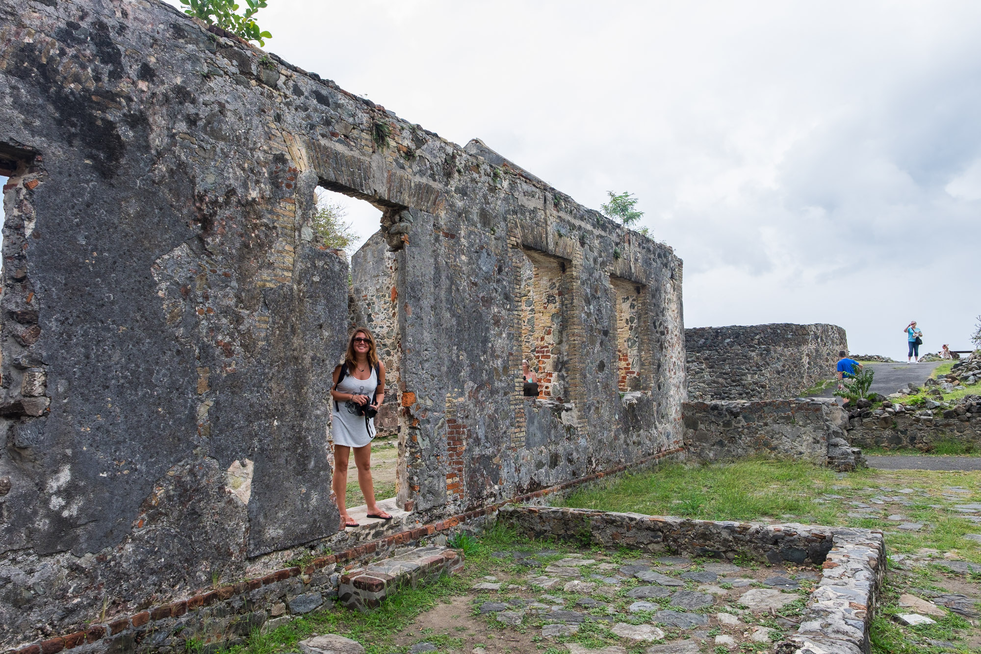
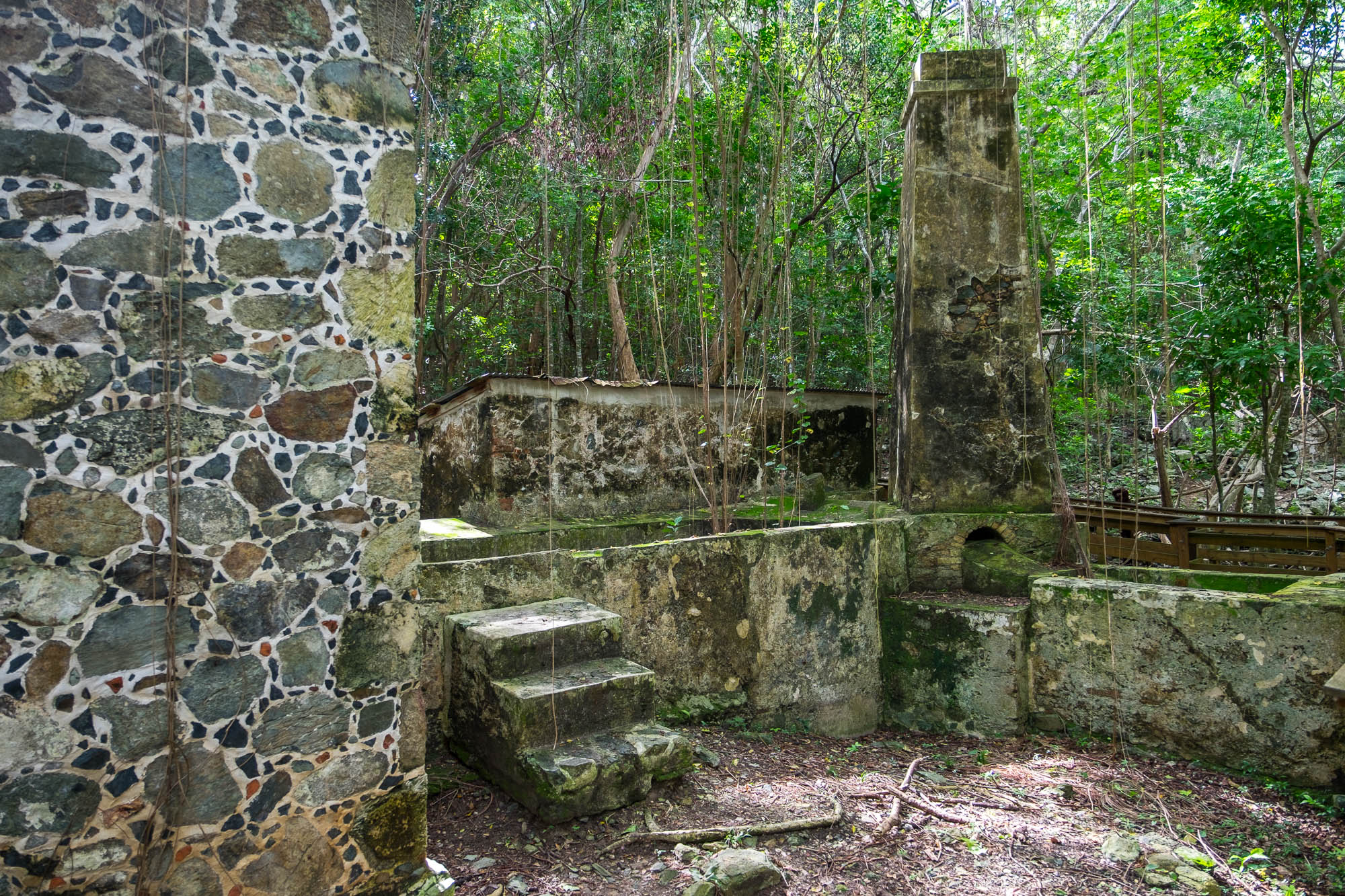
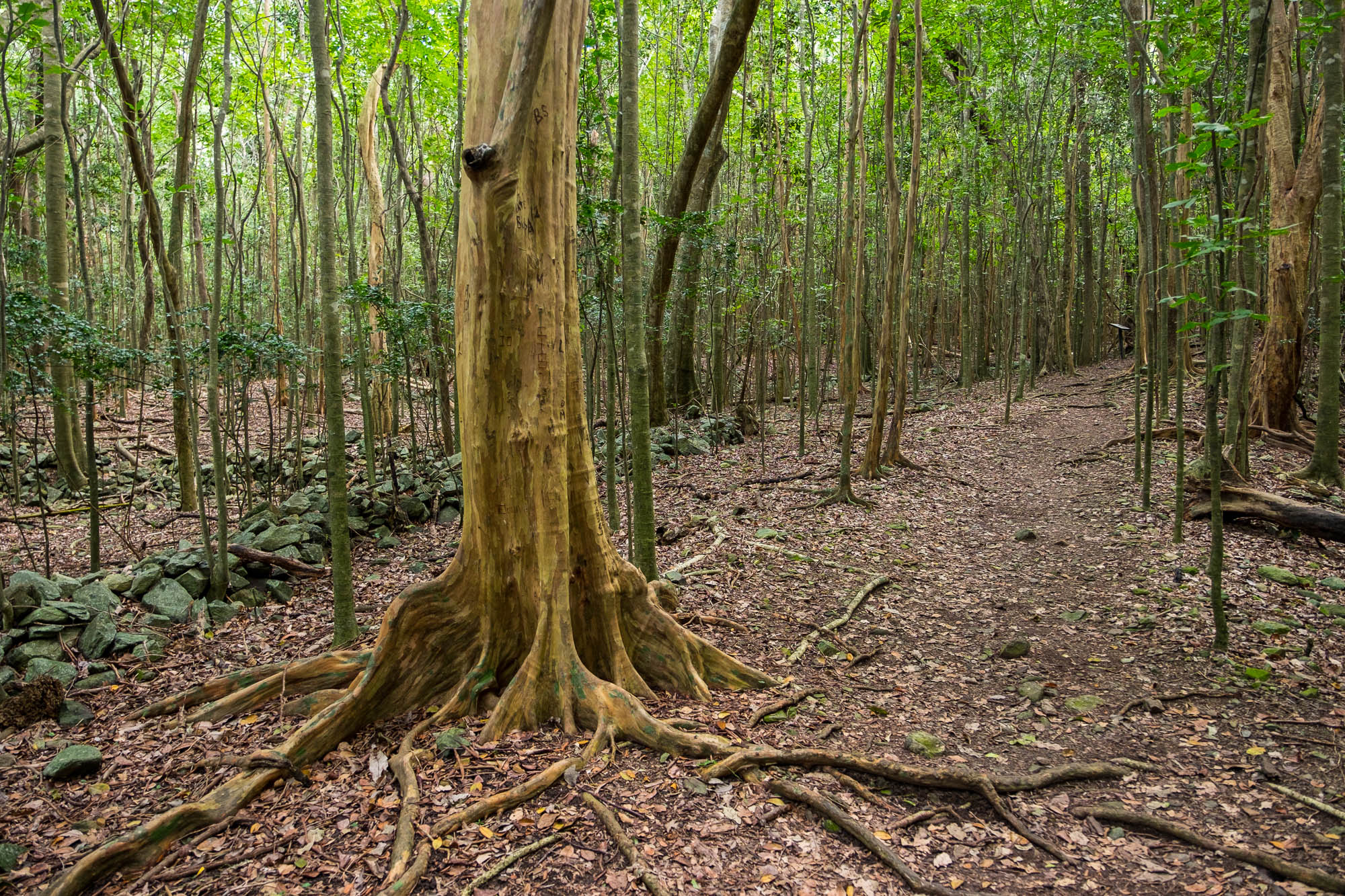
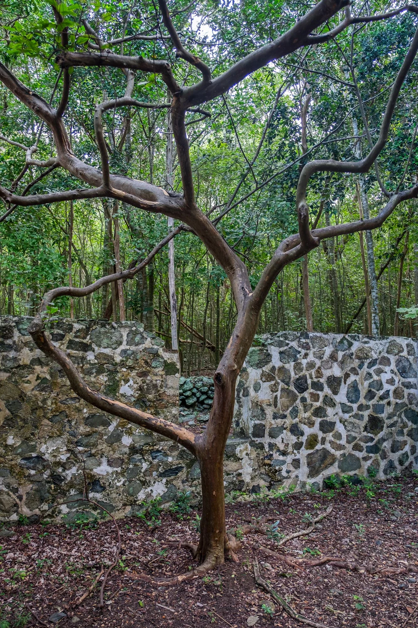
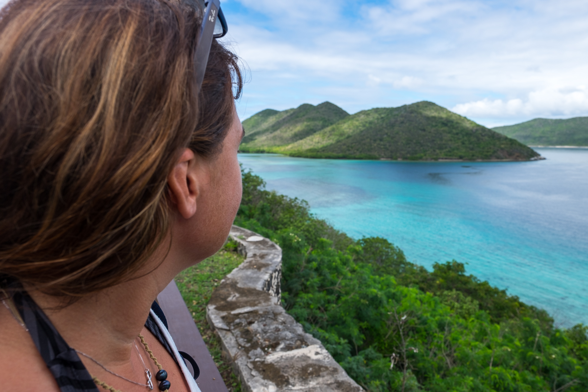
We got lost in those snorkels (what an amazing way to explore the world!), in long wanders through remains of ancient civilizations and among ruins of sugar plantations located in the lush vegetation that grows so wild on the island; and made time otherwise for a couple of really great meals restaurants in town that cater to foodies—a welcome change from the dehydrated camping food and protein bars we'd been living on for three weeks prior to US VI. And aside from all that, we relaxed, saving up energy for a long trek by road to park #5!
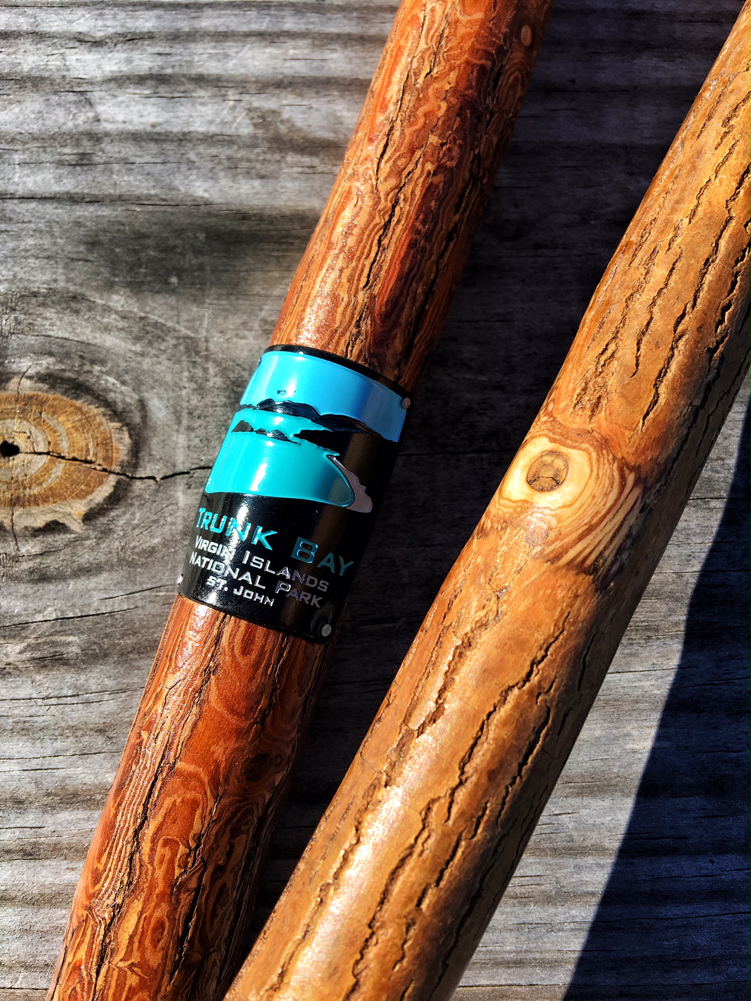

This is not an error: you actually see only one hiking stick medallion from the US VI. We lost one. Hoping to find one online... stay tuned!
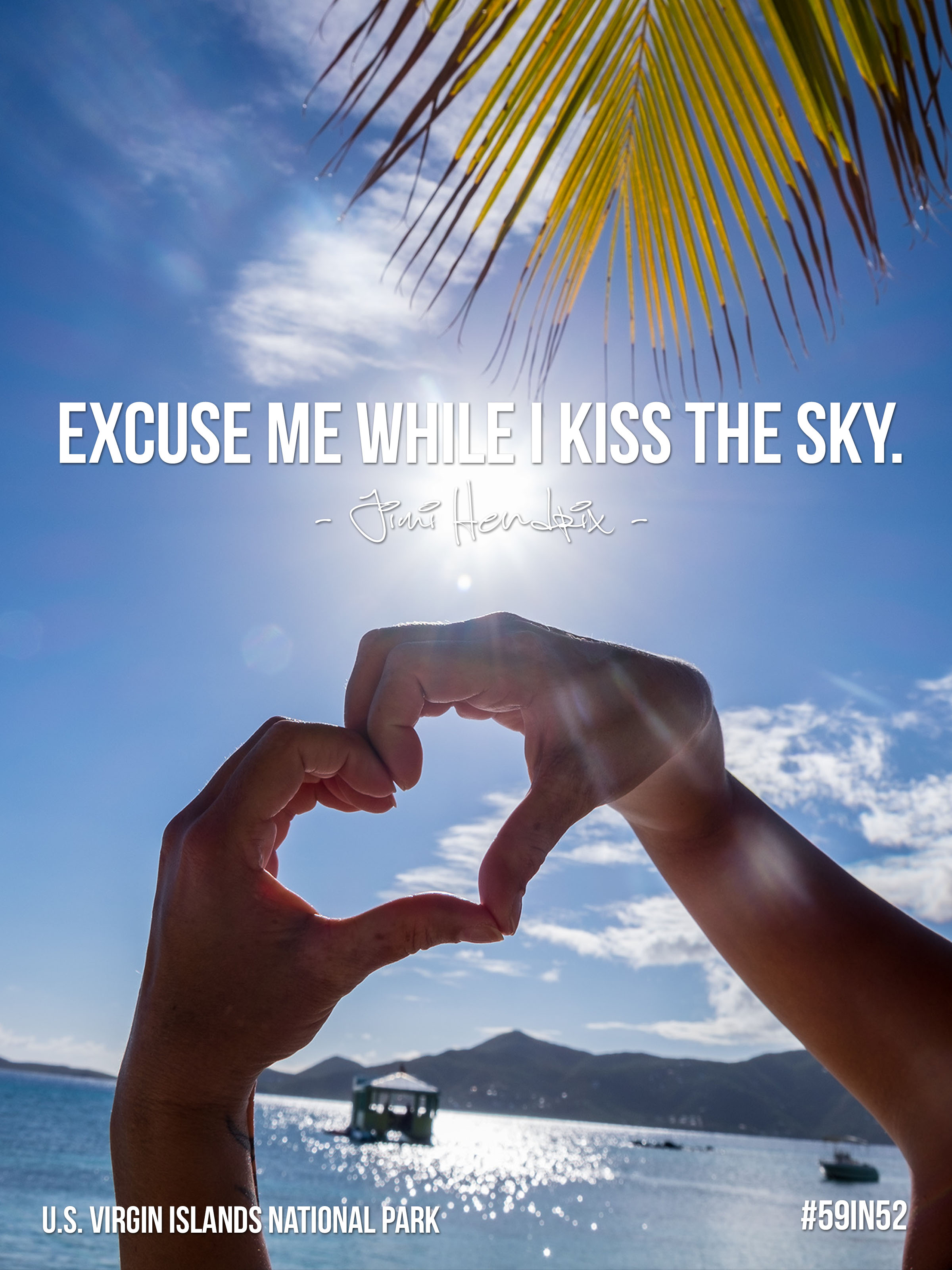
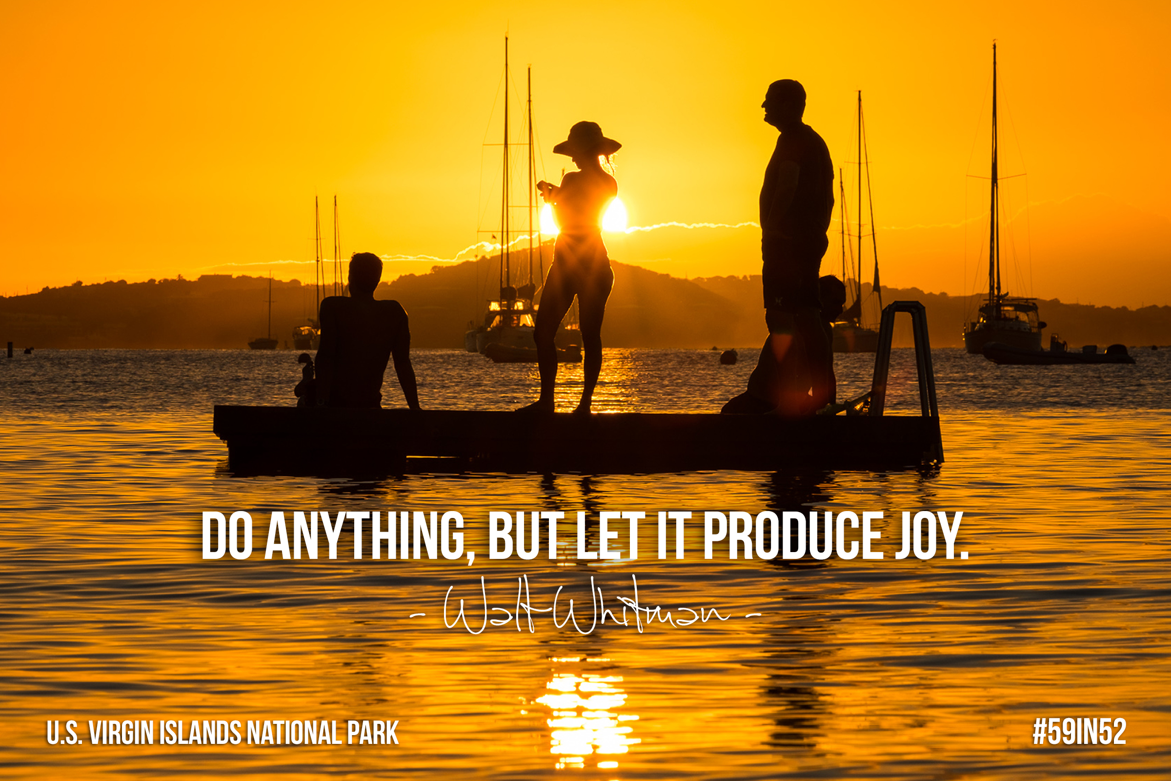
Quotable Images
Fact Box
6,259 acres (covering about 60% of the island of St. John) | 5,650 submerged acres
Official name: Virgin Islands National Park
Established: August 2, 1956
Location: Island of St. John and Hassel Island in the United States Virgin Islands, United States
How the park got its name: During the Rockefeller days, the park was called “that park on the Virgin Islands,” which came to be known as “Virgin Islands National Park” when the U.S. government was gifted the land.

Iconic site in the park: While the park is best known for its diverse tropical rainforest and incredible waterways, there are many important archeological and historic sights scattered through the island. One example is the Annaberg sugar plantation, where a picturesque windmill and horsemill still stand facing out to sea. Stop by the Annaberg Cook & Bake house during open hours to try the coconut sweetened “dumb bread,” or to see a cultural demonstration such as basket weaving or bread making.
Accessible adventure: Trunk Bay is by far the most popular place on the island to enjoy a day at the beach. There are vendors, kayak and snorkel rentals, snack bars and changing room facilities situated just up from the beach where travelers can stock up before heading out on an adventure into the underwater snorkeling trail.
Big adventure: Whether you want to dive, snorkel, hike, swim, paddle, sail, explore ruins, or relax on the shore, there is an abundance of ways that you can carve-your-own adventure on the island of St. John. Because the island is only 19-square miles, you can pack a lot into one day. The most popular hike is the Reef Bay hike which starts from the Visitor Center bright and early at 9:30am. The highest point can be reached from the Bordeaux Mountain Trail where you can catch panoramic views of the landscape and Caribbean.
Did you know?
Trunk Bay has consistently been named one of the Ten Best Beaches in the World by Condé Nast Traveler Magazine, and Waterlemon Key on the north side of the island is the spot most beloved by locals to snorkel.
Cars drive on the left hand side of the road in the U.S. Virgin Islands.
There isn't much of a "low-season" in the Virgin Islands, as temperatures stay pretty consistent year round.
Famed Trunk Bay got its name from the "trunk-looking" Leatherback Turtle which once nested there in abundance.
There are significant prehistoric sites and burial grounds located at the bays and beaches, some dating back as early as 840 BC, others aligned with the arrival of Columbus and with native hunter-gatherer tribes.
U.S. Virgin Islands National Park Map

US VI Interactive Marine Visitor Map

Use the Marine Visitor Use interactive map to answer marine use questions such as where to snorkel, where to anchor, areas to avoid, where to find buoys, etc.