
Death Valley National Park, California & Nevada, USA | Park 14/59


“How could rocks and sand and silence make us afraid and yet be so wonderful?”
The Best of Death Valley
With names of iconic locations like Badwater, Funeral Mountain, the Devil's Golf Course, and Death right in the name of the parkland, it's clear that this landscape on the California/Nevada state line was a torment to early visitors. As well prepared travelers, the only torment for us was that we did not have more time to stay and explore it.
Death Valley National Park is a place as full-of-life as one could imagine. Singing sand dunes, salt flats displaying mathematical shapes, colorful badlands, ancient lake-beds with sailing stones, salinic creeks thriving with tiny fish, fields drenched with colorful wildflowers.... runners, bikers, hikers, photographers, stargazers, American-history lovers, birdwatchers, scientists, artists, locals, park rangers, explorers on the open road—it's all very much alive.
It would be insane to try to describe this park as a whole unit because each iconic site—and there are many that truly earn that distinction—is so different from the next. In that spirit, we decided for this article to focus on what we feel is the Best of, encapsulating both the experience and photographic opportunities. We hope some of our findings will help travelers and photographers in some small way when planning future visits to Death Valley.
A "sailing stone" lays still at The Racetrack at Death Valley.
The Racetrack
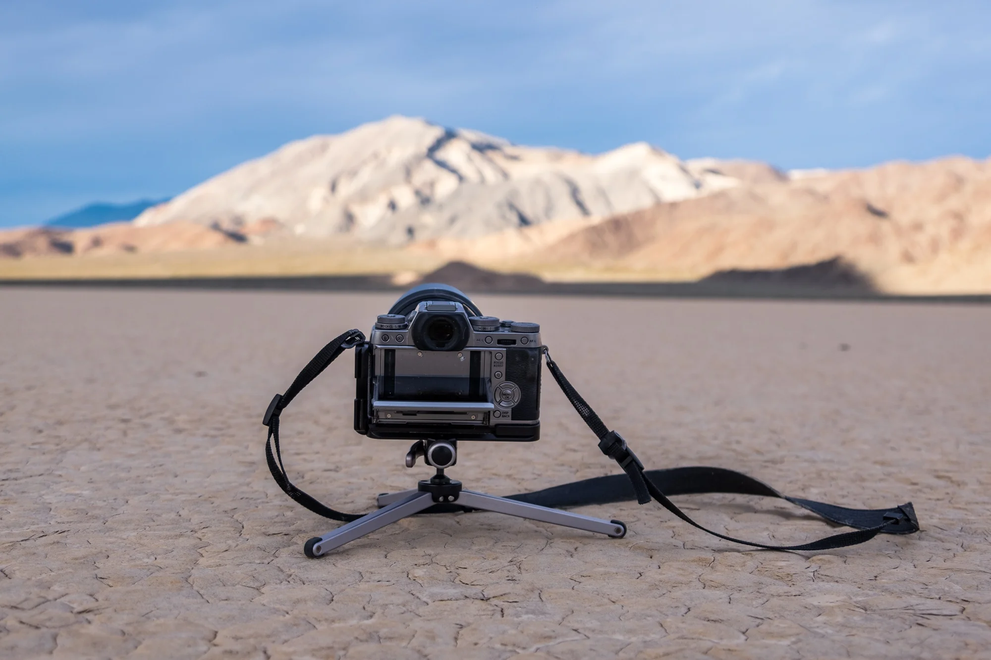
The Racetrack at "La Playa" (the beach) is home to the "sailing stones"—large boulders that move with the elements leaving a track on the dried up ancient lake bed. For a very long time, the movement of the rocks was a mystery to scientists. Research has since shown that it is the combination of wind, rain, and other effects that set the rocks into motion.
The rugged road out to the Racetrack from Ubehebe Crater is only 26 miles, but it will take you about two hours to get there. High clearance vehicles are essential, and not one, but two spare tires are recommended. Once you arrive, we recommend driving about one mile beyond the first trailhead where from a short walk toward the mountain will lead you to the highest concentration of stones. This is a bucket-listed shooting destination for many photographers.
One of the greatest things about Badwater Basin: hikers get to blaze their own trail.
Badwater Basin
At 282 feet below sea level, Badwater is the lowest point in the United States. This fun fact along with its ease of exploring makes it one of the most visited sites in Death Valley. Just steps from the parking lot you can have your photo taken at the 'lowest point' sign before venturing out onto a flatland salt flat that lays white on the horizon. If you are lucky, you will see hexagonal shapes in the flat (depicted in the most famous pictures of the area.) These hexagons occur in various places and are a result of rain and intense heat—usually found in the dead of summer (pun intended.) We walked for miles and only found subtle shaping in the landscape. Even without the coveted geometry, there are really cool textured foregrounds to capture and the shimmering white line on the horizon adds yet another layer to an already complex topography.
Dante's View overlooking Death Valley and the Black Mountains at sunrise.
Dante's View
This high-elevation viewpoint is the most visited site in the park—because of its beauty and because access is easy; just a few miles driving up a well-paved road into a parking lot and you will stand upon what is arguably the best overlook view in the park. Elevation is 5,487 feet and therefor bitter cold and windy, (at least it was when we visited,) but having the ability to capture the sunrise burst on one side of the lot and soft gradient pink and blue skies over the valley on the other, packs a lot of punch in terms of capturing a variety of cool photos in a short amount of time.
Artist's Palette is nature's MAGIC.
Artist's Drive and Artist's Palette
This is Stefanie's favorite place in the park. Artist's Drive is a 9-mile scenic driving loop winding through mountains that look as though they were painted on canvas with an old brush. Artist's Palette, about 2/3 of the way through, is a concentrated area of oxidized rock that bursts with colors of gold, purple, green, and red, created by iron, mica, and manganese. Late afternoon, but before the golden hour, is the best time to photograph this spot. Sunset is too late as it casts too many shadows, and sunrise and daytime light washes out the vibrant color. We went around 3pm and the light was perfect. If not after the shot, just strap on your boots and wander into the surreal landscape. It is absolutely surreal what nature can do!

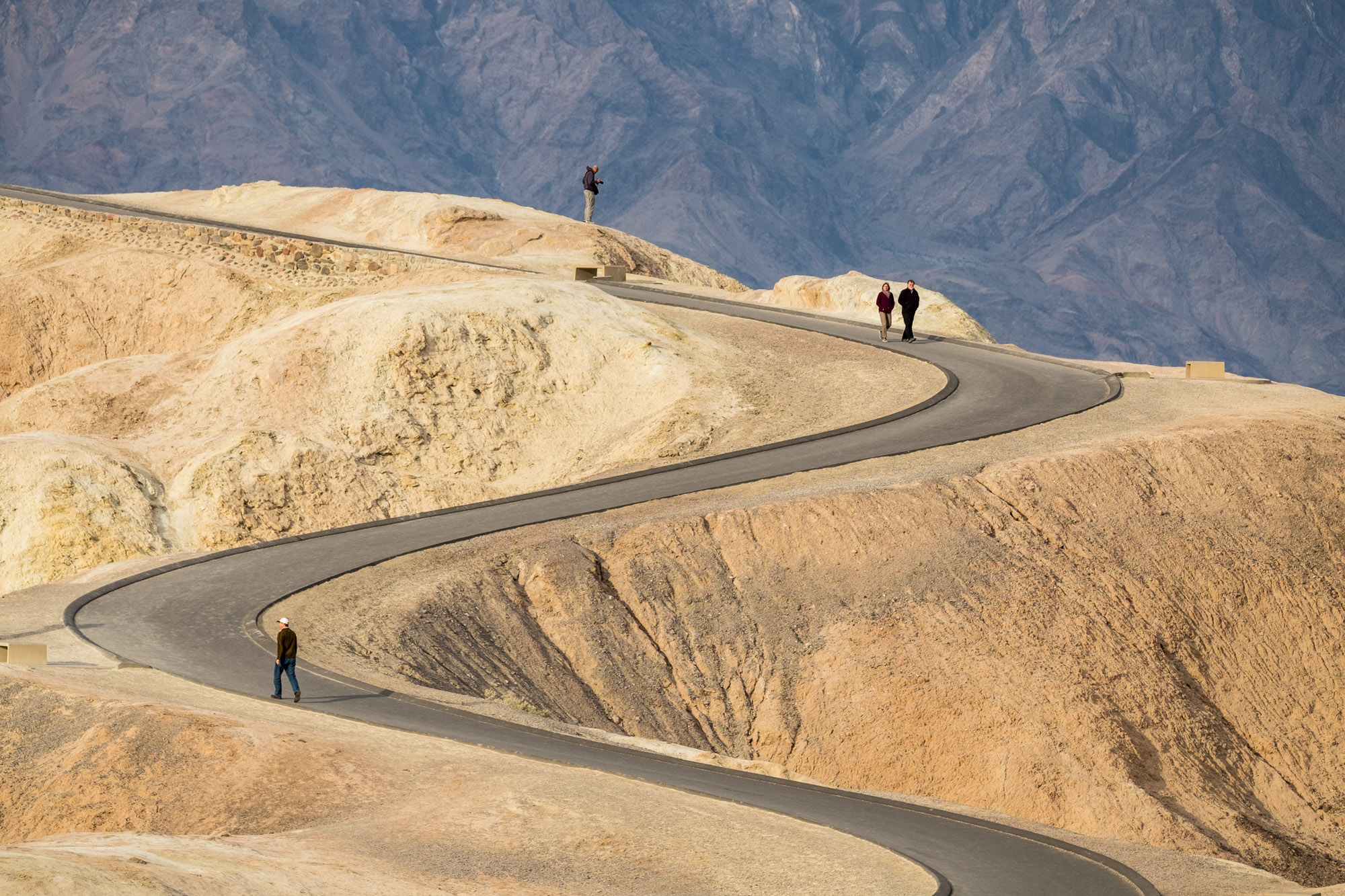
Sunrise photographers line up at Zabriskie Point; sunrise is usually a full house too.
Zabriskie Point
This is Jonathan's favorite sunrise spot and he sampled them all! Zabriskie Point overlooks dramatic badlands painted in texture and colorful geometrics that seem to twist and illuminate with every shift of the sun. Early morning hikers heading out lend an exceptional perspective of scale bit static and in motion... the whole scene is really fun to photograph. Most people stand and shoot at the dedicated viewpoint, and many photographers get set up at the ridge just below it (see right) for an unobstructed view. This iconic spot is only 7 miles from Furnace Creek lodging and camping and up a small hill, making it easy to get to during those early morning hours.
Devil's Gold Course is one of those hard-to-explain, can't get enough of, surreal environments where you are reminded that nature is boss.
Devil's Golf Course
Not far from Badwater is Devil's Golf Course, a place that makes you feel as though you are on a different planet or on an asteroid or something. It's very strange to look at, and strange to photograph as well. The rock salt floor is sharp as jagged teeth (even for die hard flip floppers, which we both are, shoes are a must.) This must be one of the roughest landscapes on this planet and as such, is pretty darn mesmerizing. While the bumpy floor provides a really cool foreground for wide landscape shots, you could get lost for hours just pointing your camera straight to the ground and photographing intricate textures on this menacing landscape.

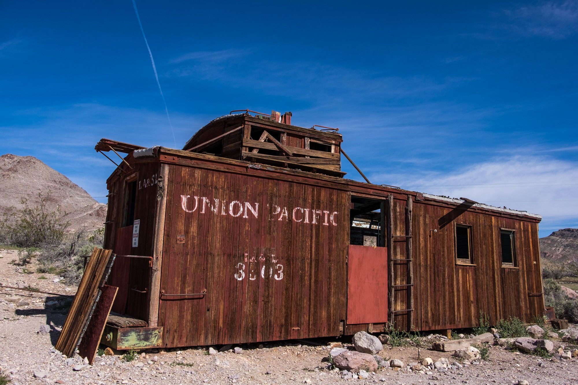
Rhyolite, an old mining town on the eastern side of Death Valley National Park in Nevada, is a quick one hour drive from Furnace Creek where you can learn about the area's mining history (/ghost town!)
Rhyolite Ghost Town, Nevada
Most of Death Valley is located in California. However, if you hop in the car and drive about an hour to the eastern edge of the park, you'll find yourself in the Nevada ghost town of Rhyolite. The town rose and fell quickly in population—in a matter of 15 years it grew from zero to several of thousands of people and back down to zero by 1920 when it became a tourist destination as a ghost town. It has also been used as a set for movie productions. Visiting Rhyolite is really cool way to explore a different shade of the park (and another state as well) and there are some epic long highway shots to be found as you make your way back to California's Death Valley.
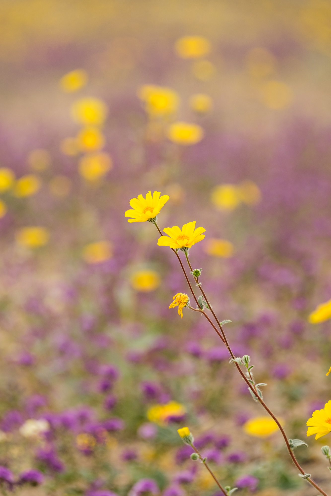
The 2016 Death Valley "superbloom," captured in early March.
The rare "Superbloom"
When we heard that the rare desert superbloom was underway at Death Valley, we scratched our previously planned route and b-lined it to California, where we found the landscape washed in yellow, purple, pink and white wildflowers. The last superbloom in Death Valley was in 2005, so we felt that it was our duty to get there! This spring phenomenon is a result of consistent heavy rainfall occurring the autumn prior. A beautiful, unique add to an already incredible landscape, and a special gift to Jon for his birthday!

Hiking stick medallions from Death Valley National Park.

14 parks down .... 45 to go!!
Quotable Images


Fact Box
3.4 million acres | Lowest, hottest, and driest place in the United States | International Dark Sky designation
Official name: Death Valley National Park
Established: October 31, 1994
Location: Eastern California & western Nevada
How the park got its name: According to the National Park Service, it was the menacing conditions experienced by a group of pioneers who were marooned in Death Valley in the winter of 1849-1850 that gave the park its name. These men, the now legendary "lost 49-ers" thought the location would mean for them certain death. It would not take their lives though—ironically, it helped them live on. Legend has it that as they were climbing out of the hills when rescued, one looked back and uttered “goodbye, Death Valley." And so the name was born.
Iconic site in the park: The rolling mountains of eroded, colorful, and highly textured badlands that stretch from Zabriskie Point make it one of the most photogenic destinations in Death Valley. It stuns beneath both sunrise and sunset light, is easily accessible in terms of park location and at the site itself, and is a stepping stone to many trails leading off into the picturesque badlands.
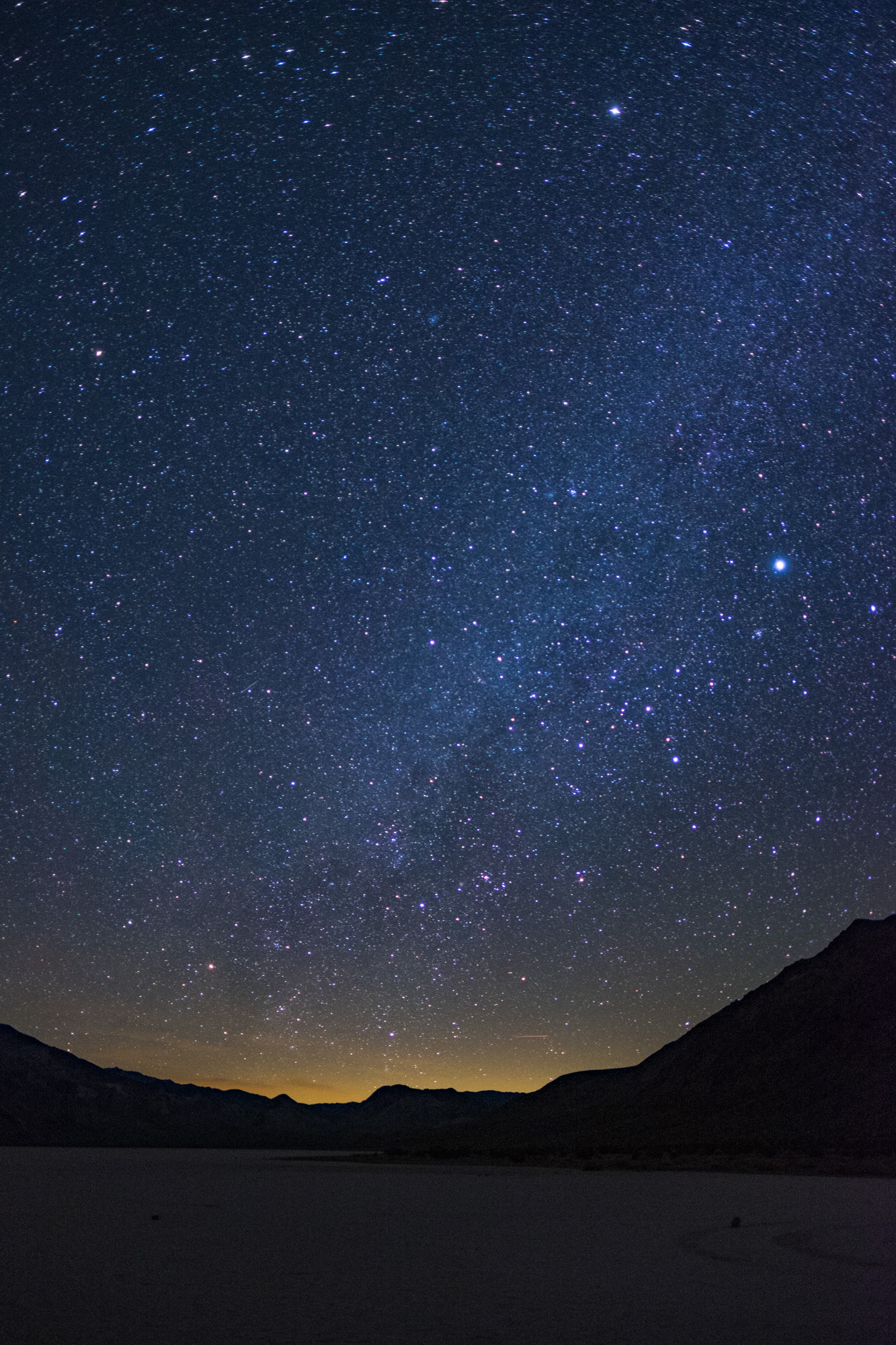
Big adventure: Located just 26 miles down a dirt road from a main jumping off point, you'd think that getting to The Racetrack would be simple enough. That is one tough road, though. As mentioned in our article above, not one, but two spare tires are recommended, and a high clearance 4x4 vehicle is mandatory to make the two-hour each way trek. Once you are there, there are no services or facilities, and there is really only one place to camp about 15 miles nearby (it is forbidden to camp at the beach and for two miles in each direction,) so plan of losing sleep if you are looking to catch late night star-stuff. Finding the sailing stones can be a challenge as well if you don't know where to look (they are near the mountain base opposite the south entrance.) All of that being said, a visit is profoundly worthwhile. The deafening silence is incredible to experience in an otherwise noisy world, the sailing stones and their pathways are completely surreal, and the middle-of-nowhere location allows the stars and Milky Way to shine brightly overhead in the dark of night.
Accessible adventure: Badwater Basin is the largest protected salt flat in the world and is situated at the lowest point in North America, giving visitors two great reasons to explore there. After catching your photo with the 'Lowest Point' sign, you can blaze your own trail into the illusionary vastness where pure white sprawls the horizon. Badwater is located near the popular Furnace Creek area, and the flatland basin starts right where the parking lot ends making it accessible to visitors of all ability levels.
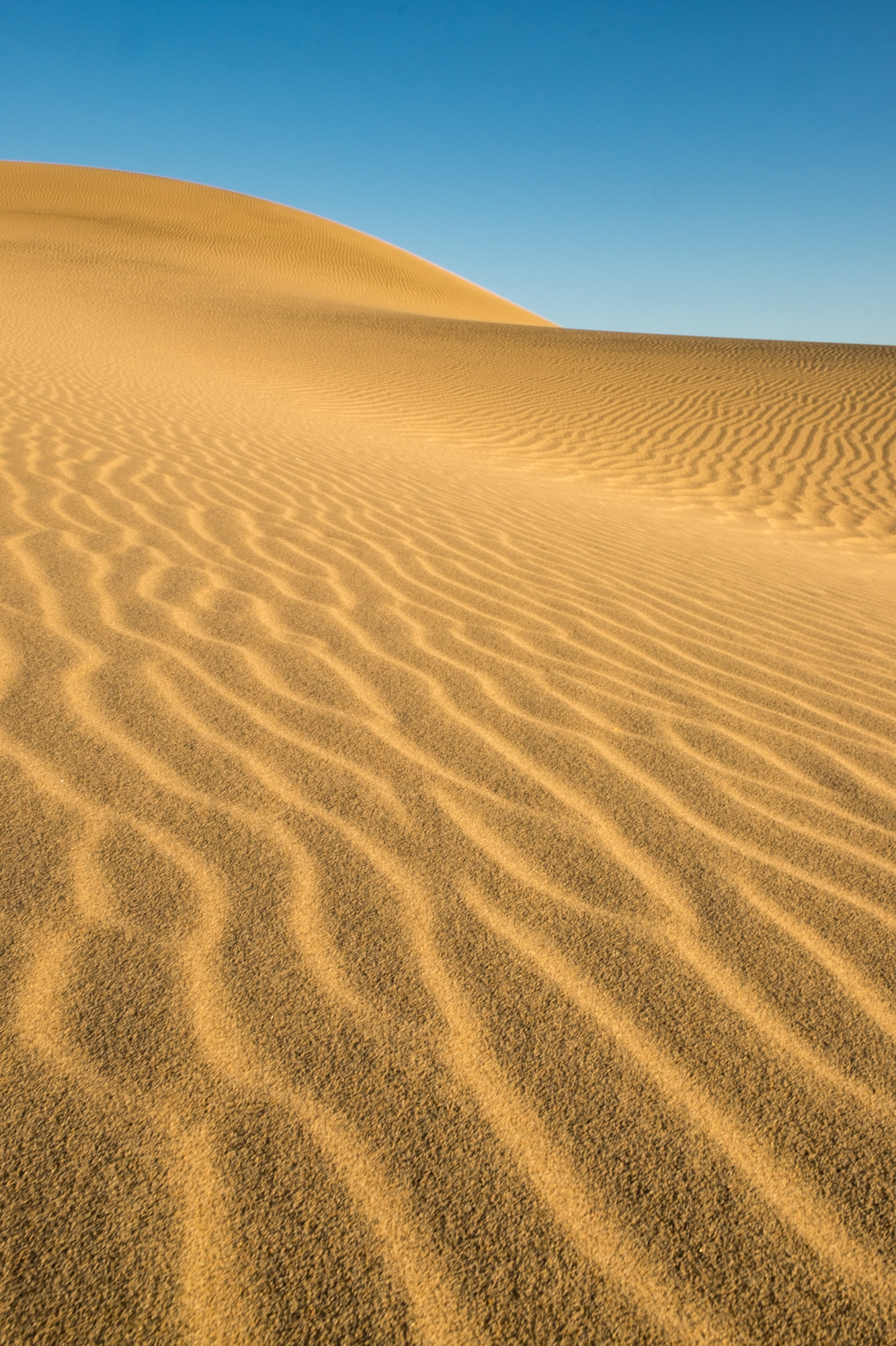
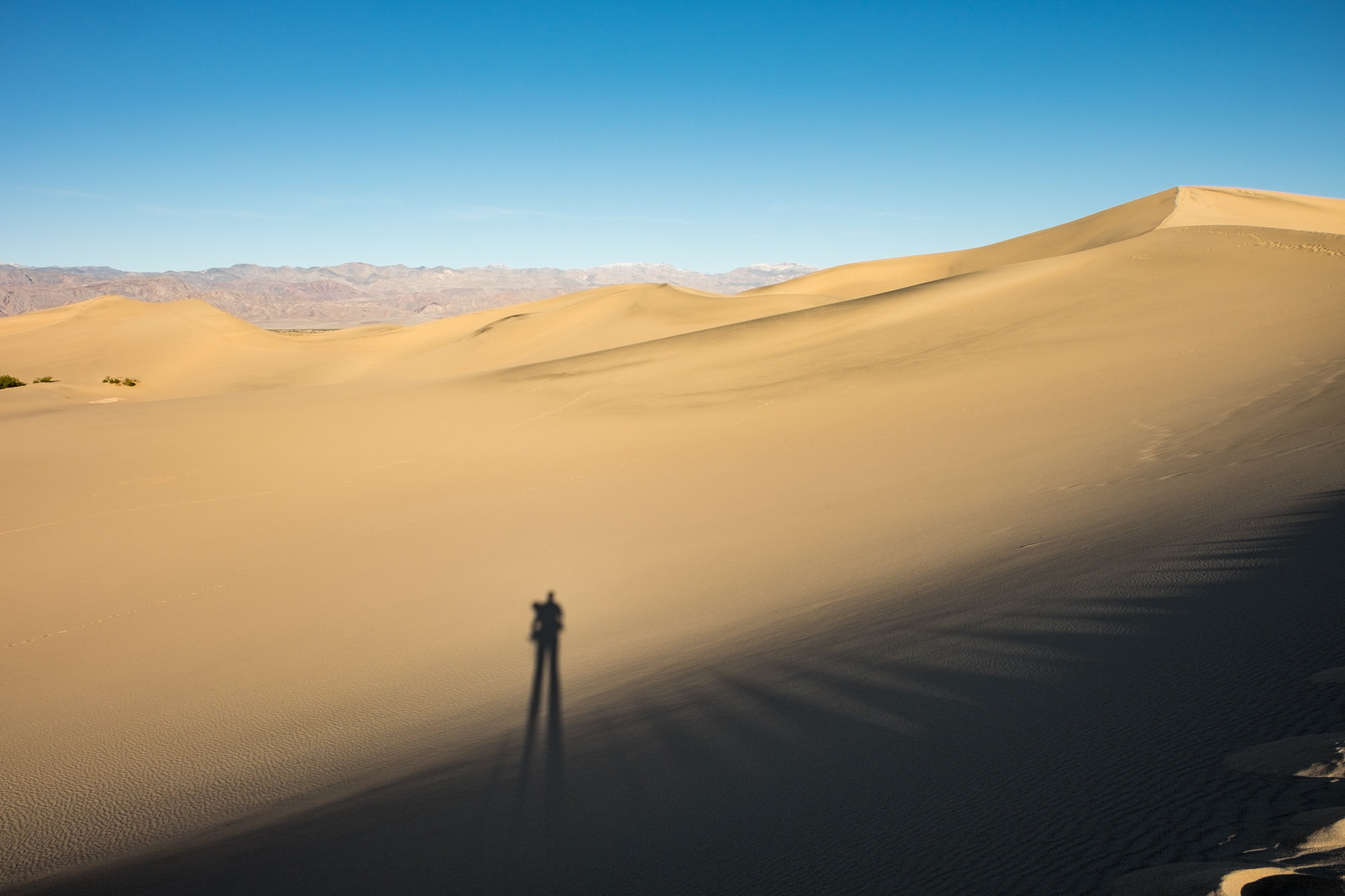
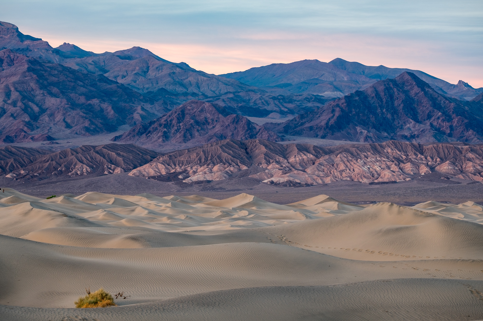
Mesquite Dunes are the highest dunes in the park, the most easily accessible, and look... they are beautiful too!
Did you know?
Death Valley is the largest national park in the lower 48 states.
It rains, on average, less than 3 inches per year. In 1929, not one drop of rain was recorded.
The highest temperature ever recorded in the Western Hemisphere was recorded in Death Valley in 1913: 134° F.
Look but don't touch the spring wildflowers, especially the purple ones. They are mildly poisonous and can cause skin irritation an rashes similar to what is caused by poison ivy... we learned this the hard way :/
Wildlife in the park can include rattlesnakes, scorpions, and black widow spiders; pupfish; more than 300 species of birds; coyotes, lizards, roadrunners and high in the mountains, bighorn sheep.
To see the world's toughest fish, head to Salt Creek. This is the only place where you can see the tiny Death Valley Pupfish, who each year survive temperatures ranging from 32° to 104° F.
The lowest point in the United States is found at Death Valley, 282 feet below sea level. It is actually located a few miles from the 'Lowest Point' sign at Badwater Basin, but the exact location varies and is not very accessible, which is why the sign was planted where it stands now.

"Tea Kettle Junction" on the way to the Racetrack.
Many scenes of everybody's favorite epic space film series, Star Wars, was filmed at Death Valley. Filming locations include Mesquite Dunes, Artist's Palette, and Golden Canyon, to name a few.
Less than 1% of Death Valley is populated with sand dunes.
Some of the sailing stones at The Racetrack have traveled up to 1,500 feet.
A photo of Zabriskie Point is the cover art for U2's album, The Joshua Tree.

Illustration inspired by Death Valley National Park and Wally the Airstream, our home on the road – created with the Procreate app and Apple Pencil on the iPad Pro.
National Park Inspired Illustrations
I like to draw, so typically when I hit the road on an epic adventure, I have in my bag artist tools -- graphite, paper, markers, colored pencils, gum erasers, and a sharpener. This adventure is no different, I am still carrying these items. Also in my bag are a few other tools that pack light and allow me to create digital renderings that I can easily transmit from app to site to platform.
The first drawing that I've deemed "complete" enough to share (that can be a tough determination) is of our home during this project, Wally the Airstream, inspired by our time in Death Valley National Park. It was created on the iPad Pro with the Apple Pencil with the mobile app Procreate.
Starting out, I had no idea what I was doing so I loaded a series of sketching apps—Adobe Sketch, Forge, Sketches Pro—and gave some thought to what I've seen so far this year and to what I wanted to create. Then I took to drawing while riding passenger in long expanses of open road. As soon as I thought I was "on to something," I would discover another sketching capability in this app or the other, or a new pressure angle on the Apple Pencil, that would steer me in a new direction. While trying to finish a drawing this was frustrating; while trying to make something look cool, this was awesome. After many, many, many drafts of drawings in different styles, I started to gain an understanding of the different workspaces. Ultimately I chose to favor Procreate because it combines many of the aspects of Adobe graphic art programs that I love (particularly, it has layers) and for me, it is the most intuitive as a result of my familiarity of such programs.
I have an entire collection of National Parks inspired illustrations in the works and will share them when they are ... complete.
In the meantime, I hope that you enjoy my first drawing. :)
— Stefanie
